Author: Site Editor Publish Time: 2026-07-17 Origin: Site
The rapid evolution of unmanned aerial vehicles from hobbyist gadgets to autonomous, payload-carrying threats renders legacy perimeter security obsolete. Facility managers face adversaries equipped with technology capable of bypassing standard defenses. Traditional detection methods, primarily RF scanners, fail against dark drones. These UAVs fly on pre-programmed GPS waypoints without active RF communication, remaining invisible to protocol-decoding sensors. Optical and thermal cameras provide visual confirmation but lack the wide-area scanning capabilities needed for early warning.
To secure critical infrastructure and military installations, security architectures require a foundational layer of active physical detection. A high-performance Drone Detection Radar provides this layer. By transmitting energy and measuring the reflection, radar tracks physical signatures regardless of weather, lighting, or RF emissions.
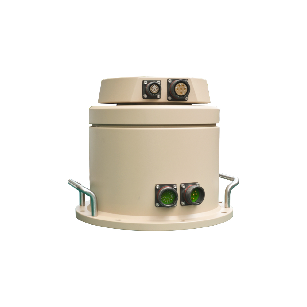
Radar is Mandatory for "Dark" Drones: Unlike RF sensors, radar detects the physical presence of a UAV, making it the only reliable primary sensor for autonomous, non-emitting threats.
Technology Dictates Capability: Procurement decisions hinge on choosing between FMCW, Pulse Doppler, and Phased Array systems, each offering distinct trade-offs in range, elevation tracking (3D/4D), and budget.
Classification is the Primary Hurdle: The effectiveness of a counter-UAS radar is measured not just by detection range, but by its software's ability to filter out environmental clutter and distinguish drones from birds using micro-Doppler signatures.
Integration is Critical: Radar serves as the detection engine; it must seamlessly integrate with PTZ cameras (slew-to-cue) and mitigation systems (effectors) to form a complete Counter-UAS (C-UAS) kill chain.
Deploying a radar system requires defining clear operational success criteria based on the specific threat landscape. A successful detection event involves actionable intelligence rather than just a blip on a screen. Key metrics include the minimum detection range required to allow sufficient reaction time, the time-to-target acquisition, and maintaining an exceptionally low false alarm rate. If a system triggers alarms for every passing flock of birds, operator fatigue sets in, and the system is ignored. Success means reliable, consistent detection of low-observable targets within a defined perimeter.
Field engineers measure success through specific performance indicators during site acceptance testing. We look at track continuity, meaning the radar maintains a solid track on a maneuvering target without dropping it. We also evaluate the update rate. A radar that updates target position every second provides a much tighter track than one updating every three seconds, which matters immensely when directing narrow-field-of-view optical sensors.
Standard air traffic control relies heavily on secondary surveillance radar, which requires cooperative targets equipped with transponders to broadcast their identity and altitude. This approach fails for security applications dealing with hostile or negligent drone operators. Counter-UAS operations mandate high-resolution primary radar systems. Primary radar relies purely on signal reflection and backscatter. It emits electromagnetic pulses and listens for the echoes bouncing off physical objects, making it the only viable method for detecting non-cooperative targets.
The physics of primary radar dictate that the amount of energy returned to the receiver is proportional to the target's size, shape, and material composition. Because drones are small and often made of non-reflective materials, primary radars designed for counter-UAS must operate at higher frequencies, such as X-band or Ku-band, to achieve the necessary resolution to detect these minute reflections.
Relying solely on RF protocol decoding leaves vulnerabilities. Modern, auto-programmed UAVs execute complex flight paths using inertial navigation and GPS without transmitting telemetry or receiving live control signals. Optical systems suffer from a narrow field of view and degrade in fog, rain, or total darkness. Radar bridges this gap by providing persistent, 360-degree volumetric surveillance, detecting objects based on their physical mass and movement rather than electronic emissions or visual contrast.
| Sensor Type | Detection Method | Vulnerability | Weather Performance |
|---|---|---|---|
| RF Scanner | Protocol decoding, signal interception | Fails against autonomous "dark" drones | Excellent |
| Optical/Thermal | Visual contrast, heat signatures | Narrow field of view, requires cueing | Degrades in fog, rain, snow |
| Primary Radar | Physical signal reflection | Line-of-sight obstructions, ground clutter | Excellent (frequency dependent) |
In advanced security frameworks, defeating a threat follows a structured process known as the kill chain: Detect, Track, Identify, and Defeat. Radar serves as the foundational detect and track engine. It establishes the target's presence, speed, and trajectory. This data is handed off to optical sensors to identify the payload and intent. Finally, mitigation systems execute the defeat phase. Without the initial radar detection, the rest of the chain cannot function.
The speed of data transfer between these phases determines the system's overall effectiveness. A delay of even two seconds between radar detection and optical cueing can result in a lost target, especially with fast-moving FPV (First Person View) drones. Network latency and API efficiency are just as important as the radar's raw detection range.
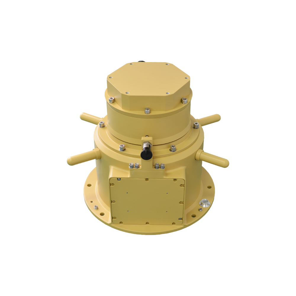
FMCW radars operate by continuously transmitting a signal that sweeps across a range of frequencies. The system measures the frequency difference between the transmitted and received signals to determine the target's distance and velocity. This technology offers high spatial resolution at short-to-medium ranges. It is highly effective for commercial facilities requiring perimeter defense, offering lower power consumption and a compact form factor. While it lacks the extreme range of military systems, its continuous transmission provides excellent close-in tracking.
From an installation perspective, FMCW units are generally lighter and require less robust mounting infrastructure. They often run on standard PoE (Power over Ethernet) or low-voltage DC power, simplifying the cabling requirements on rooftops or perimeter poles.
Pulse Doppler systems emit short bursts of radio waves and measure the Doppler shift of the return signal. This shift indicates the target's radial velocity relative to the radar. These systems excel at filtering out stationary ground clutter, such as buildings and trees, making them highly effective in complex environments. Pulse Doppler remains a traditional standard for military applications due to its robust performance, long-range capabilities, and strong velocity discrimination.
The main advantage in the field is the ability to set strict velocity gates. If you only want to see objects moving faster than 5 meters per second, the radar hardware filters out everything else before it even reaches the software processing stage, drastically reducing the computational load.
Phased array radars, including Active Electronically Scanned Arrays (AESA) and Passive Electronically Scanned Arrays (PESA), utilize electronic beam steering. Instead of physically rotating an antenna, they shift the phase of signals emitted from a grid of stationary antenna elements to sweep the sky instantly. They provide simultaneous tracking of multiple targets, necessary for defending against drone swarms, and deliver precise altitude data. The 4D variant adds micro-Doppler analysis for enhanced classification.
These systems have no moving parts, which significantly reduces mechanical wear and tear. In harsh environments with high winds or blowing sand, the solid-state nature of a phased array radar ensures higher uptime and lower maintenance requirements compared to rotating dish antennas.
Passive radar systems do not emit their own electromagnetic energy. Instead, they utilize existing ambient signals to detect reflections from UAVs. These systems leverage GNSS satellite signals, cellular networks, and digital television broadcasts. Because they emit no energy, they are completely undetectable by adversaries. While hardware requirements are generally lower, they are highly dependent on the local RF environment and require massive computational power to process the complex ambient signal reflections.
Deploying passive radar requires a thorough understanding of the local broadcast environment. If the local TV transmitter goes offline for maintenance, your detection capability drops. Therefore, passive systems are often deployed as a secondary layer rather than the primary detection method.
Detecting micro-UAVs presents a significant physics challenge. These drones are constructed from plastics, carbon fiber, and minimal metallic components, resulting in exceptionally low Radar Cross-Section values. A high-performance Drone Detection Radar must possess extreme sensitivity to register these faint reflections against background noise. Standard aviation radars are blind to objects with such small RCS profiles.
| Target Type | Typical RCS (dBsm) | Detection Difficulty |
|---|---|---|
| Commercial Airliner | +20 to +40 | Very Low |
| Light Aircraft | +10 to +15 | Low |
| Fixed-Wing Military UAV | -5 to +5 | Medium |
| Consumer Quadcopter (DJI Phantom) | -15 to -20 | High |
| Micro FPV Drone | -25 to -30 | Extreme |
Distinguishing a hovering drone from a bird is the primary classification hurdle. Advanced radar software utilizes the micro-Doppler effect to solve this. While the main body of the drone may be stationary or moving slowly, the rapidly spinning propellers create distinct, high-frequency Doppler shifts. The radar analyzes these specific rotational frequencies. Birds flap their wings at much lower, irregular frequencies. By isolating the micro-Doppler signature of spinning rotor blades, the system definitively classifies the target as a mechanical UAV.
This classification happens in real-time. The radar processor runs Fast Fourier Transforms (FFT) on the return signals to separate the main body velocity from the propeller velocity. If the FFT output shows a strong central peak with symmetrical sidebands, the system flags it as a multi-rotor drone.
Modern classification relies heavily on spectrogram analysis combined with machine learning. The radar generates a micro-Doppler spectrogram, a visual representation of the frequency spectrum over time. Convolutional Neural Networks analyze these spectrograms to estimate blade count, rotor speed, and structural dynamics. This AI-driven approach allows the system to differentiate between a quadcopter, a hexacopter, and a fixed-wing aircraft, providing operators with precise threat intelligence before visual confirmation.
Training these neural networks requires massive datasets of recorded drone flights under various weather conditions. Vendors continuously update their classification libraries, pushing firmware updates to fielded units to ensure they recognize the latest drone models entering the market.
Legacy 2D radars provide range and azimuth but lack altitude data. For drone mitigation, 2D tracking is entirely insufficient. A drone could be flying at 50 feet or 5,000 feet; without elevation data, directing optical sensors or kinetic effectors is impossible. 3D tracking provides precise coordinates in all three spatial dimensions. This volumetric accuracy is mandatory for calculating intercept trajectories and ensuring mitigation systems engage the correct airspace.
When integrating a 3D radar with a PTZ camera, the elevation data allows the camera to tilt to the exact angle required. Without it, the camera would only pan to the correct compass bearing and would have to manually search up and down to find the target, wasting valuable seconds.
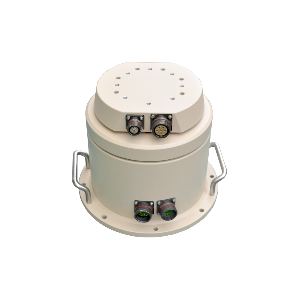
Radar performance varies drastically based on the deployment environment. Urban canyons filled with moving vehicles, HVAC fans, and reflective glass present massive environmental clutter compared to open desert terrain. Evaluating a system requires understanding its False Alarm Rate in conditions similar to the intended site. High FAR leads to system abandonment, as operators learn to ignore constant alerts. Robust clutter mapping and dynamic thresholding algorithms are essential features for urban deployments.
During commissioning, field technicians spend days building a static clutter map. The radar runs in a learning mode, recording all stationary reflections like buildings and towers. Once the map is built, the software subtracts these static returns from the live feed, allowing moving targets to stand out clearly.
A radar does not operate in isolation. It must integrate seamlessly into the broader C-UAS ecosystem. The most critical integration is slew-to-cue functionality. The radar must feature an open API and ONVIF compliance to communicate instantly with Pan-Tilt-Zoom optical and thermal cameras. When the radar detects a target, it must automatically direct the camera to the exact 3D coordinates in milliseconds, allowing for immediate visual identification without manual operator intervention.
We test this integration by flying a test drone at the edge of the radar's range. The camera should snap to the target and keep it centered in the frame as the drone maneuvers. If the camera lags behind the radar track, the API integration requires optimization.
Deployment logistics dictate hardware selection. Fixed-site installations at airports or prisons require heavy infrastructure, permanent power, and hardwired data connections. Tactical deployments for VIP protection or forward operating bases demand mobile, tripod-mounted, or vehicle-integrated systems. The chosen radar must match the required deployment footprint. Scalability is also vital; the software architecture must support networking multiple radar heads together to cover vast perimeters and eliminate blind spots.
When networking multiple radars, the command and control software must handle track fusion. If two radars see the same drone, the software must merge those two tracks into a single icon on the operator's screen, rather than displaying two separate targets.
Deploying active radar in civilian or commercial airspace involves significant regulatory hurdles. Radars emit powerful electromagnetic signals that can interfere with existing communications. Operators must navigate local aviation and communications regulations to secure the necessary frequency licenses. Ensuring the chosen radar operates on permissible frequencies and adheres to strict emission limits is a mandatory first step before any hardware is purchased.
Site surveys must include a spectrum analyzer sweep to identify existing RF traffic. If you deploy an S-band radar in an area saturated with S-band communications, the noise floor will be too high for the radar to detect small targets effectively.
Military deployments face unique survivability challenges. Drone detection radars must integrate into broader Command and Control architectures. Emitting active radar signals makes the system a target for anti-radiation missiles and electronic warfare. Mitigating these risks involves utilizing active/passive hybrid arrays, implementing strict duty-cycle scheduling, and employing frequency-hopping techniques to avoid jamming and detection.
Tactical setups often utilize remote operation. The radar head is placed on a high vantage point, while the operator station is located hundreds of meters away, connected via fiber optic cable. This ensures operator safety if the radar position is targeted.
Radar operates strictly on line-of-sight principles; it cannot see through buildings, mountains, or dense foliage. Terrain masking allows drones to fly low and approach undetected. Mitigating LoS limitations requires a comprehensive site survey. Solutions include strategic elevation placement and deploying a multi-sensor network. Fusing data from multiple radar nodes placed around the perimeter ensures overlapping coverage and eliminates blind spots caused by physical obstructions.
Conduct a 3D topographical analysis of the site to identify terrain masking zones.
Determine optimal mounting heights to clear local foliage and perimeter fencing.
Deploy secondary, short-range gap-filler radars in identified blind spots.
Verify overlapping coverage zones using live test flights at varying altitudes.
Active radar systems must coexist with the facility's existing electronic infrastructure. Poorly configured radars can cause severe interference with local Wi-Fi networks, emergency responder radios, and nearby aviation infrastructure. Proper spectrum management involves conducting an RF sweep of the environment prior to installation. The radar must be configured with precise frequency filters and sector-blanking capabilities, which prevent the system from transmitting energy into specific zones where interference would be detrimental.
Sector blanking is a software feature that turns off the radar transmitter for specific azimuth angles. If a hospital with sensitive medical equipment is located to the north, the radar can be programmed to stop transmitting when the antenna sweeps past that specific sector.
To successfully protect critical perimeters from non-cooperative airborne threats, security leaders must integrate active physical detection capable of registering autonomous "dark" drones. For defense and enterprise teams looking to reinforce their airspace, partnering with a premier surveillance payloads manufacturer is key.Ryanspecializes in design, customization, and production of top-tier optical and thermal imaging systems. Their advanced electro-optical and thermal imaging payloads are engineered specifically to integrate seamlessly with high-performance drone detection radar, closing the critical gap between initial active detection and target verification.
To move forward effectively, take the following actions:
Conduct a localized 3D site survey to identify physical obstructions and map potential radar blind spots.
Define the required detection range based on the minimum reaction time needed for your specific mitigation protocols.
Request vendor field trials at your facility, focusing strictly on the system's false alarm rates and its ability to classify targets using micro-Doppler analysis.
Verify API documentation to ensure the radar can execute seamless slew-to-cue commands with your existing optical sensors.
A: RF scanners detect the radio signals transmitted between a drone and its controller. They cannot detect drones flying autonomously without emitting signals. Drone detection radar emits radio waves and detects the physical reflection of the drone, allowing it to track dark drones regardless of their RF emissions.
A: Yes. Because radar relies on the physical reflection of electromagnetic energy bouncing off the drone's structure, it does not require the drone to transmit any radio, Wi-Fi, or GPS signals to detect and track it.
A: Advanced radars use the micro-Doppler effect. While a bird flaps its wings at a low, irregular frequency, a drone's propellers spin at high, consistent speeds. The radar analyzes these distinct rotational frequencies to accurately classify the target as a mechanical drone.
A: Secondary radar requires the aircraft to have a transponder that actively replies to the radar's signal with identification data. Primary radar simply bounces energy off the object and reads the echo. Counter-drone security relies entirely on primary radar.
A: Range depends heavily on the radar technology and the size of the drone. Small commercial quadcopters might be detected at 1 to 3 kilometers by standard FMCW systems, while military-grade phased array radars can track larger fixed-wing UAVs at distances exceeding 10 kilometers.
A: Passive radars are effective for covert operations because they emit no energy. They detect drones by analyzing how the UAV reflects existing ambient signals in the environment, such as local FM radio, digital television broadcasts, and cellular network transmissions.
A: Slew-to-cue is an automated integration feature. When the radar detects and tracks a target, it instantly sends the precise 3D coordinates to a PTZ camera. The camera automatically moves to those coordinates to provide immediate visual confirmation of the threat.